
Rather than trying to put our whole July vacation on the Kitsap Peninsula into one post, I decided to break it into major events! We have:
I: Campground & Cycling
II: Bloedel Reserve (Arboretum/Botanical Garden)
III: Elandan Gardens
IV: Hiking in Port Ludlow
V: Kayaking in the Hood Canal and Agate Passageway
PORT LUDLOW
Port Ludlow is about 15 minutes away from the campground and crossing the Hood Canal Bridge. A bit to the west and to the north.
We hiked three trails across the bridge:
- Hood’s Head Trail,
- Ludlow Falls, and the
- Teal Lake Loop
As always, AllTrails was a great help in finding good hiking trails that would lead to beautiful vistas. I will try to limit how many photos I choose from each trail. *Yikes*
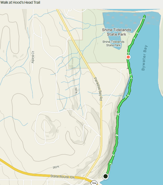
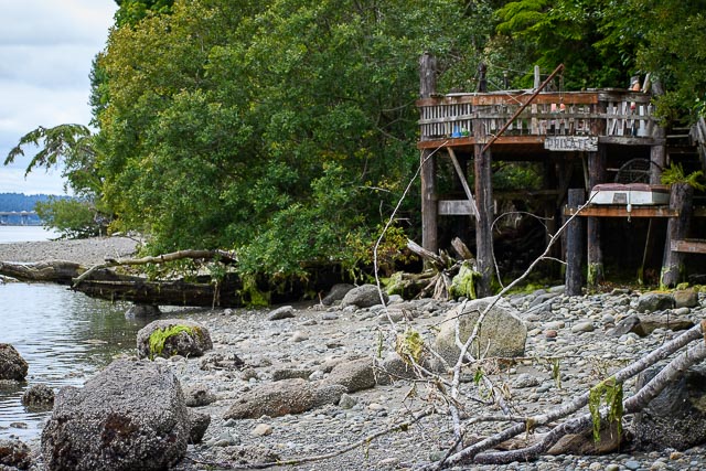
Hood’s Head Trail
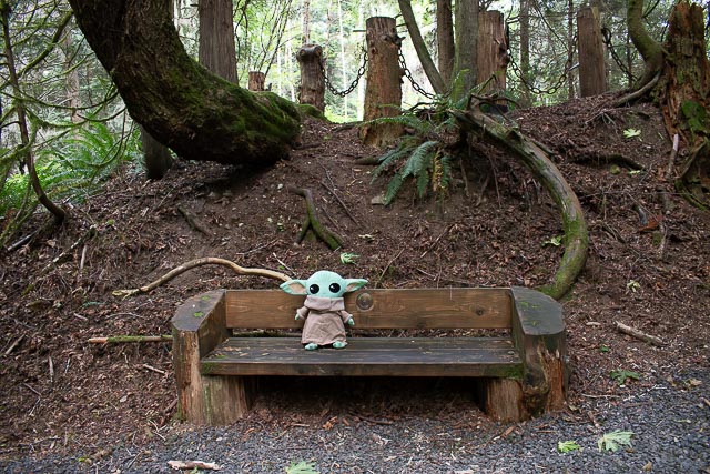
Grogu sat for his photoshoot and then disappeared to only a place that he knew of.

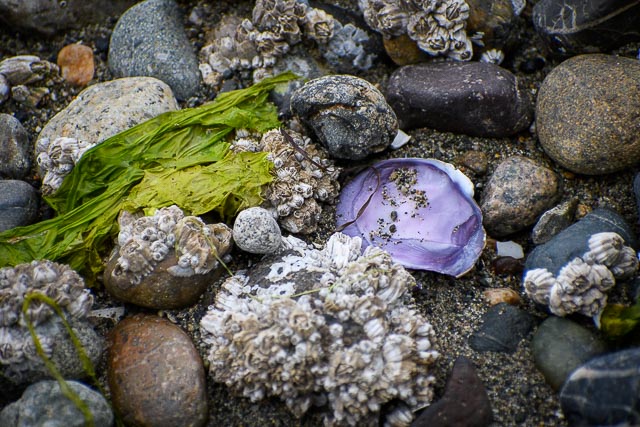
This was beachfront all the way and easily the most captivating of the three trails.
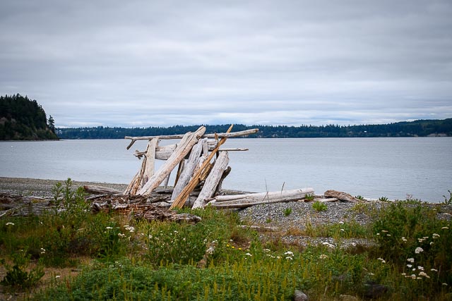
It is a predominantly rocky beach, so be prepared for unsound footing and many trees to climb over. On the return trip, the tide was coming in and eliminated walking around many trees unless you had waterproof shoes.
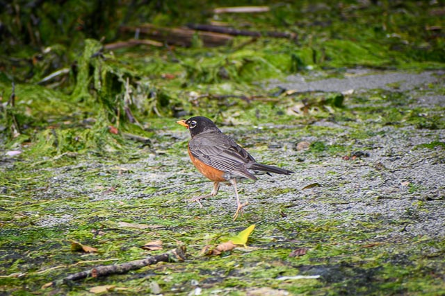
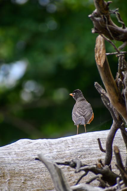
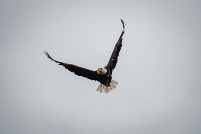
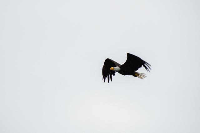
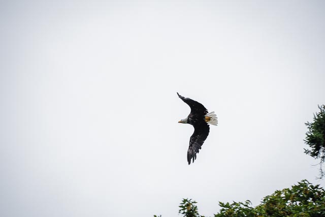
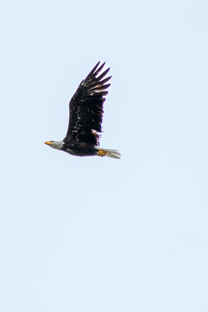
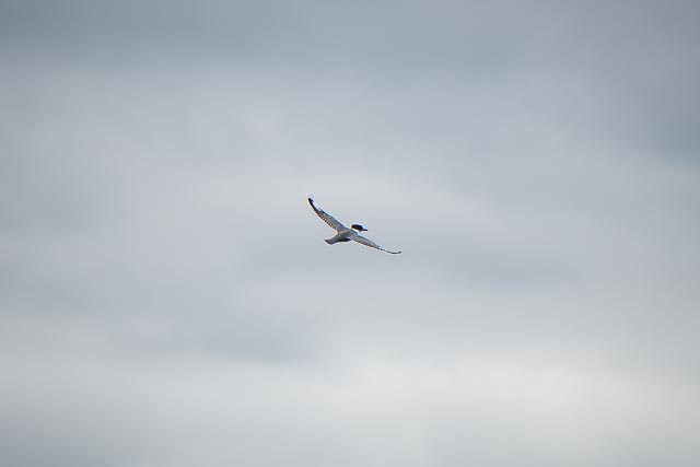
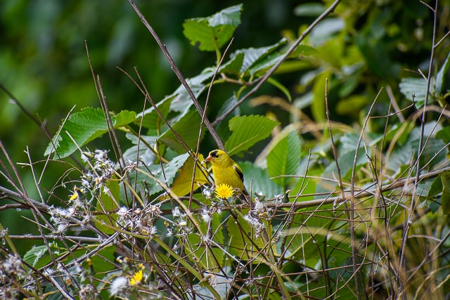
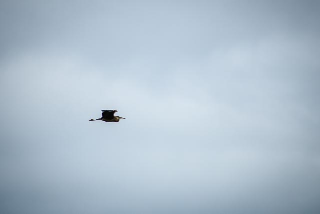
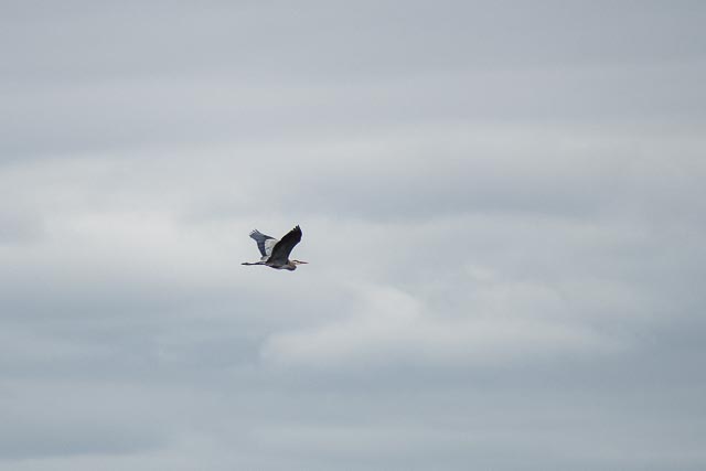
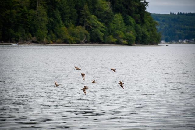
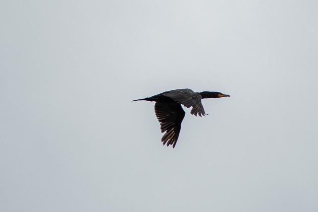
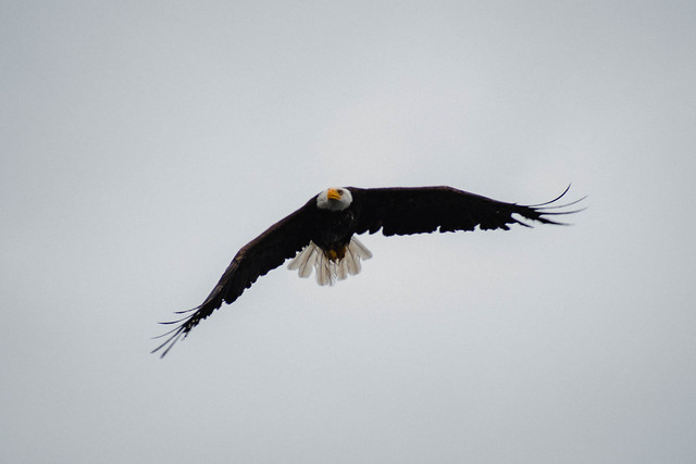
There was wondrous wildlife along the way, including seals, eagles, swallows, robins, goldfinches, and others that I did not know the names of.


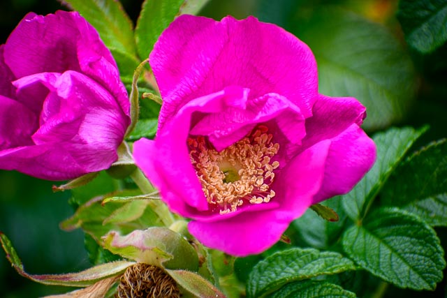
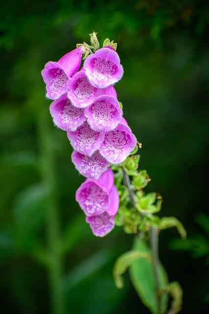
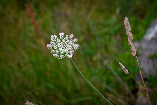
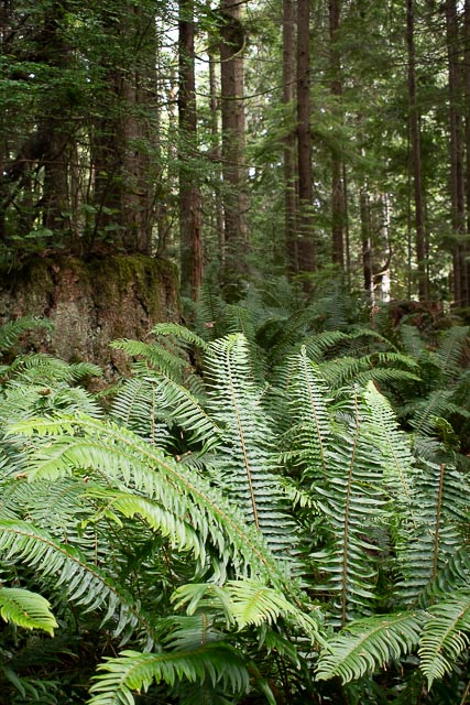
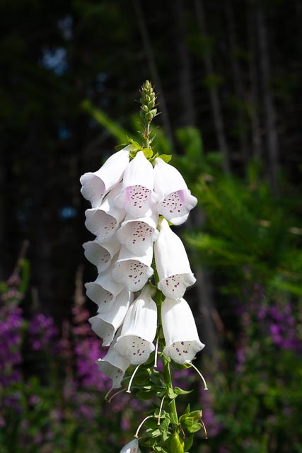
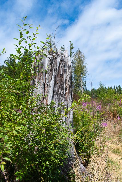
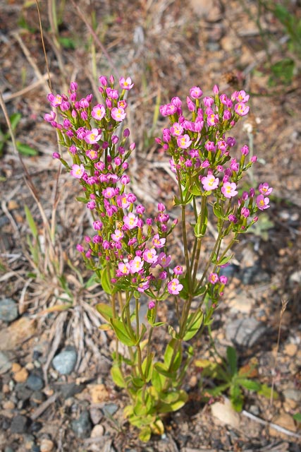
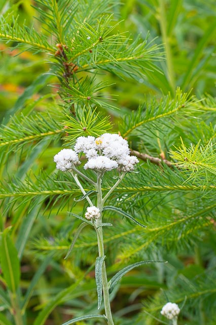
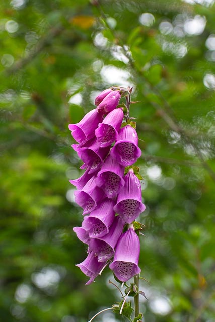
And, of course, the plant life was gorgeous too!


One last note. Although this hike was 5-10 minutes from the campground, it took 45 minutes to get there because the Hood Canal bridge is a drawbridge. We didn’t know this! We sat and sat and sat. We finally got to go across. While we were hiking, we got to see the drawbridge at work. One last snap so you can see it too!
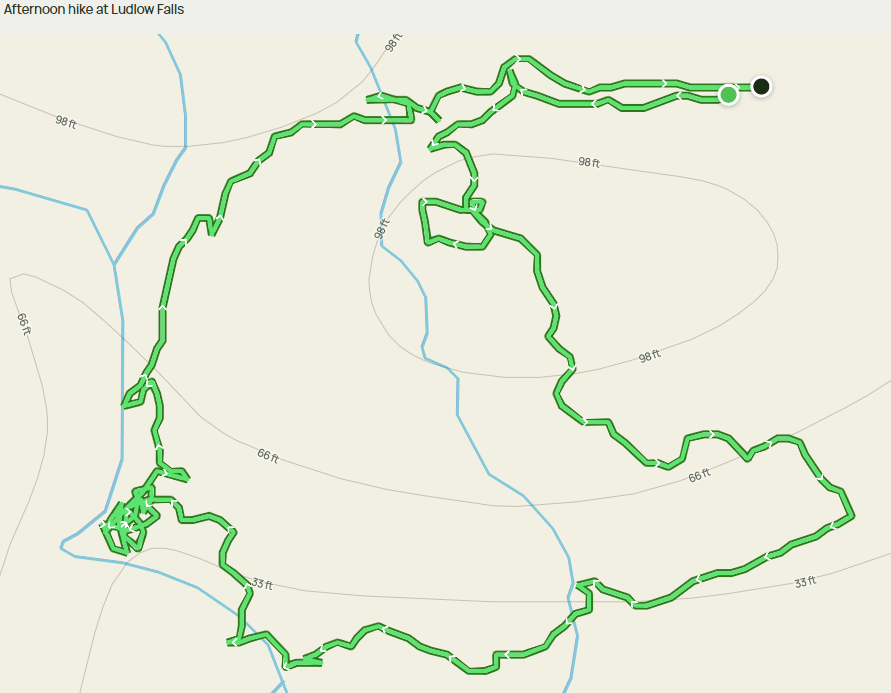
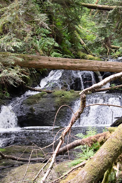
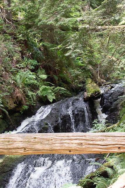
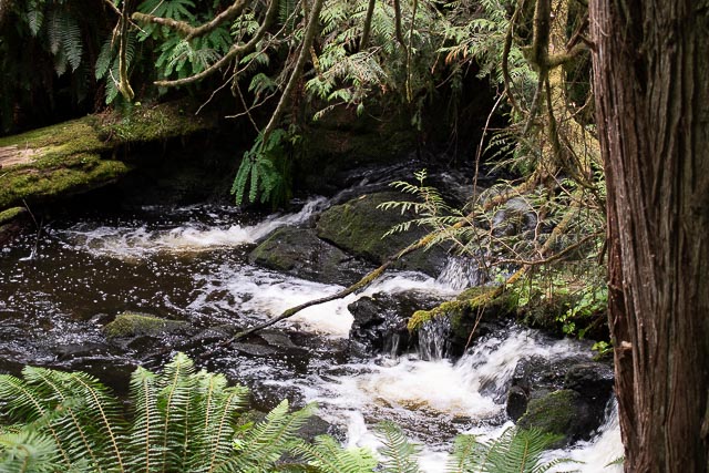
Ludlow Falls
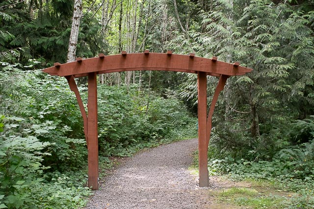
Ludlow Falls is a cute, short “interpretive trail” in the middle of quaint Port Ludlow.

The grounds were lush. If you’ve been following our blog posts, you know that ferns and evergreens are omnipresent in this area.

I can only imagine that the falls and river were much fuller earlier in the season! Snow melt is a real thing in early spring.
Grogu took his time to relax and ponder the nature of the falls, as did we.
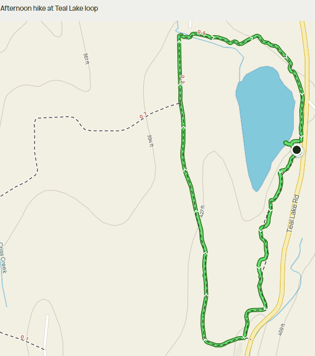
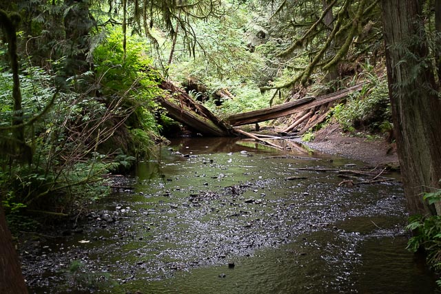
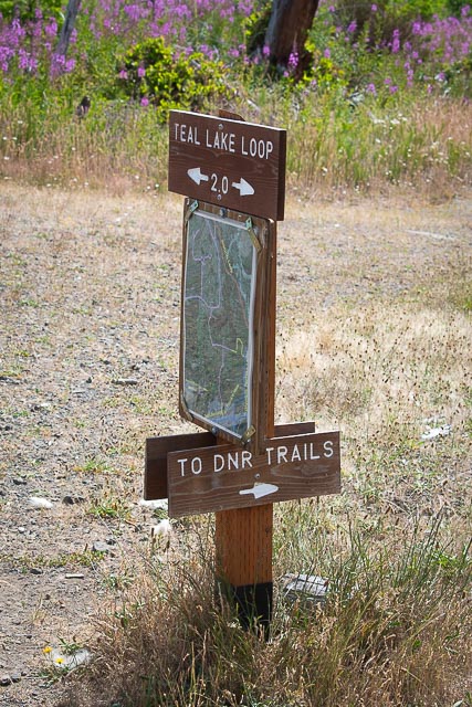
Teal Lake Loop
We chose this last hike, thinking we would have an opportunity to hike around the edges of a beautiful lake. Well, if you look at the map above, you can see that the loop is well outside the lake’s edges. In fact, we couldn’t even see the lake anywhere from the loop path.
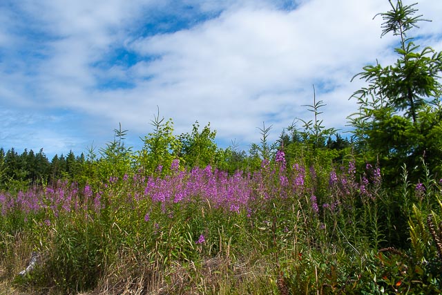
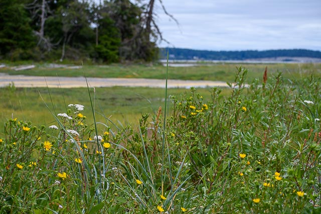
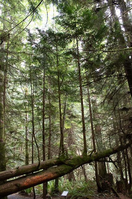
This was clear-cut land coming back for its next generation.
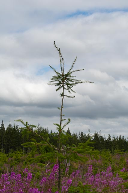
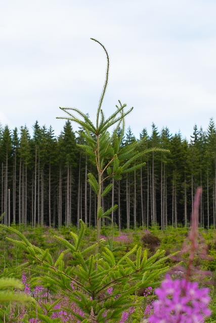
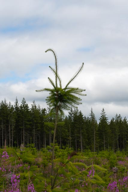
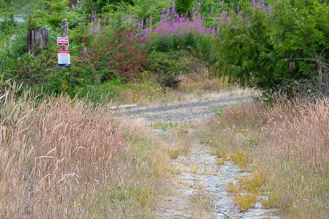
The wildflowers at this stage of reforestation are beautiful.
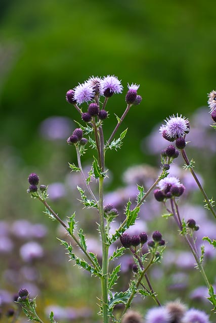
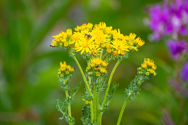
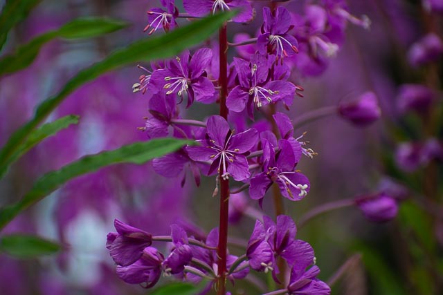
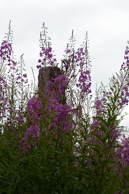
They also literally were taller than I am in places. The trail was sometimes challenging to see to simply being part of the logger’s rustic dirt road. I was glad to keep the AllTrails app open to ensure we were going in the correct direction!
Humorously, an intersecting trail leads to the “DNR Trails.” I know DNR as “do-not-resuscitate.” This must be a killer trail!
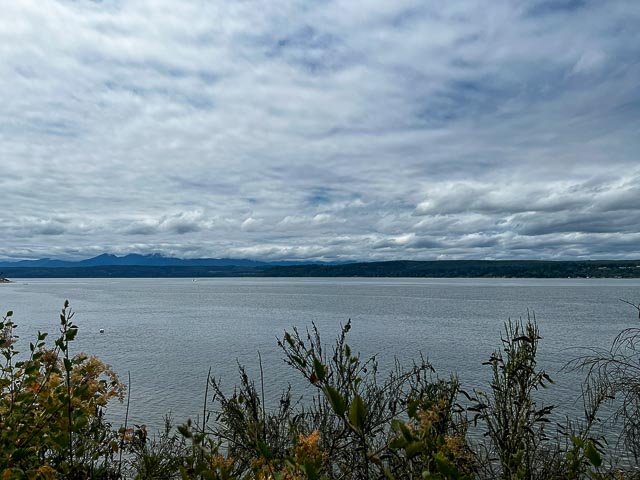
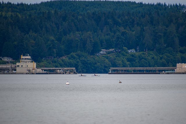
We added on the short walk down to the water’s edge for some snaps of a beautiful and hidden lake.


Thanks for reading to the end! If you want to see all the photos, they’re over at Flickr, linked below.
Peace,
Robert & Terri
 //embedr.flickr.com/assets/client-code.js

4 thoughts on “Snaps in Port Ludlow: Part IV of V”